
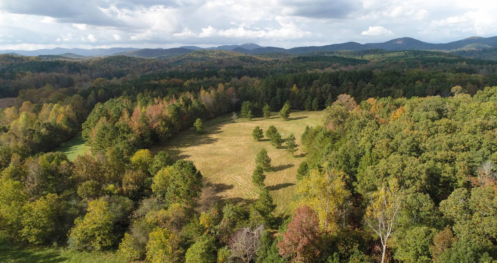
Oconee County is the corner of South Carolina where the map runs out. Georgia on one side, North Carolina on the other, three lakes along the western line, and the Blue Ridge across the top. It's the least developed of the big Upstate counties and, acre for acre, the most beautiful. What makes it interesting for a landowner is the collision at the bottom edge: Seneca is five minutes from Clemson, Keowee's retirees keep coming, and a county built on Control Free zoning is being asked what it wants to be.
What the land is like here
The northern third is mountain: the Chattooga watershed, the Jocassee Gorges, Sumter National Forest, Oconee State Park, and small mountain communities like Mountain Rest and Long Creek along Highway 28 and Highway 107. Steep, wooded, cold-water country with thin, rocky soil and views that sell themselves. Much of it is public land, which makes the private tracts that border it worth more.
The middle of the county, from Walhalla and West Union down through Seneca and Westminster, is foothills and old farm country: pasture, hardwood, chicken houses, family tracts that have been in the same name for a century. The southern edge, from Fair Play to the Georgia line, flattens toward Lake Hartwell and I-85.
And the water. Lake Keowee runs the length of the county's eastern boundary with Pickens and holds the most valuable shoreline in the Upstate. Lake Jocassee above it is nearly all protected. Lake Hartwell wraps the southwest. Each is its own market.
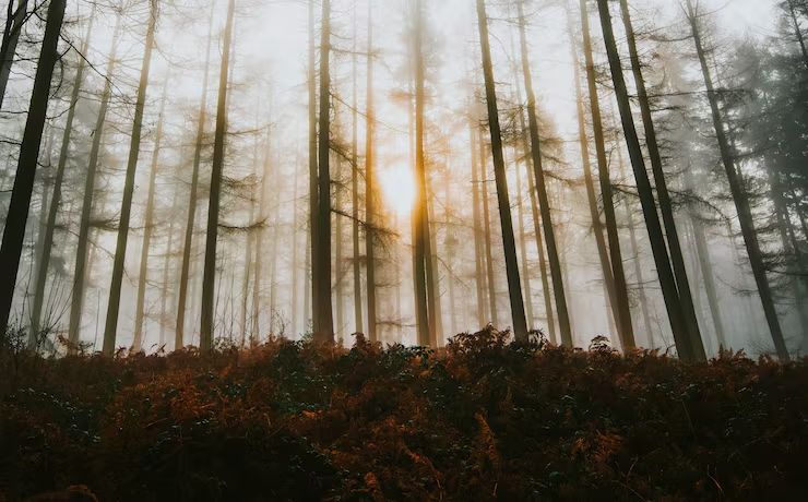
When Oconee County adopted zoning, it placed every parcel into a Control Free District that doesn't limit use. Restrictions exist only where land has since been rezoned or falls under an overlay. For most rural tracts that means the county isn't the constraint; the soil, the slope and the lake rules are. We check the map, then we check the dirt.
Control Free, with exceptions
Oconee County has a county-wide zoning map, which puts it ahead of some of its neighbors, but the map started with every parcel in the Control Free District (CFD). CFD doesn't restrict use; a landowner in CFD can do what the state and the county's general development rules allow, and that's most of the county. Real districts with real limits apply where parcels have been rezoned, typically around the towns, and overlay districts add rules along the lakes and major corridors. Inside Seneca, Walhalla, Westminster, West Union and Salem, city zoning applies.
For a seller, CFD is an asset: fewer entitlement hurdles and a buyer pool that includes anyone with a use in mind. For a buyer, it cuts the other way: the parcel next door can become something you didn't expect, and the protections you'd get from a zoning map in Greenville don't exist here. Restrictive covenants and the lake overlays are what actually protect a rural property in Oconee County.
The lakes have their own rulebooks
- Keowee. A Duke Energy reservoir. Docks, clearing and shoreline work run through Duke's shoreline management plan, and dock eligibility is the single biggest variable in a lot's price.
- Jocassee. Also Duke, but nearly all the shoreline is protected. Private frontage is rare enough to be a curiosity.
- Hartwell. A Corps of Engineers lake. Shoreline classification decides what you can do at the water; more frontage available, lower prices than Keowee.
Sewer, septic and the perc test
Sewer in Oconee County follows the towns and the joint authority. The Oconee Joint Regional Sewer Authority treats for Seneca, Walhalla and Westminster and their corridors; beyond those systems, it's septic. Where a gravity main is close, a parcel is priced on lot yield. Where it isn't, the parcel is priced on perc.
Septic permits come from the South Carolina Department of Environmental Services, the agency that took over from DHEC in 2024, and their site evaluation sets the lot count regardless of what the zoning allows. Mountain soils are shallow, rocky and steep; a lot of beautiful ground above Highway 11 won't take a conventional system at all, and that changes what the tract is worth and to whom. Down in the foothills and along the creek terraces, it percs about like the rest of the Upstate. A soil evaluation before you list or buy is the cheapest insurance in land.
In Oconee County, three questions before price: which lake, if any, and whose rules; how far to OJRSA or a town sewer main; and how much of the tract can actually hold a house. Acreage is the fourth question, not the first.
Where the growth is heading
Oconee County grows for reasons that have nothing to do with each other: Clemson spilling across the county line into Seneca, retirees chasing Keowee, and people from everywhere wanting a mountain. Here's how we read it:
- Southeast: Seneca, Highway 123 and the Clemson edge. The builder market. Seneca is Clemson's bedroom, the hospital is here, and four proposed subdivisions totaling about 746 acres were in front of the city in a single year. Any sewered parcel between Seneca and the county line is in play.
- Keowee: Salem, the Highway 130 and 183 approaches. Lake demand. Waterfront and lake-view lots priced by the water, and inland tracts near the access points riding along.
- South: Fair Play, Townville-side Hartwell, the I-85 exits. Interstate access and cheaper lake frontage. The next place demand goes when Keowee prices out the buyer.
- Center: Walhalla, West Union, Westminster. Slower, more affordable, still real farm country. Where a family can buy twenty acres without competing with a builder.
- North: everything above Highway 11. Lifestyle demand only. Trout water, views, privacy, national-forest boundaries. Not a subdivision market and never will be.
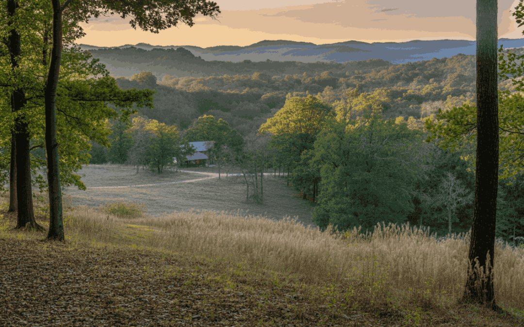
What acreage is actually worth here
A per-acre average for Oconee County puts a Keowee lot, a Chattooga-side mountain tract and a Seneca subdivision site in the same number and tells you nothing about any of them. What we can tell you is the shape of the market as we see it walking it in 2026:
Where your land falls between those depends on zoning status and overlays, lake rules, sewer distance, perc, slope, water frontage, floodplain, restrictions, timber and which buyer pool it truly belongs to. That's the underwriting we do before we list.
Selling land in Oconee County
Most land listings here get a per-acre comp, six phone photos and a sign at the road. Ours don't, because we do the buyer's homework first:
- We walk it. Building sites, spring heads, the creek you can hear from the porch site, the ridge with the view. On mountain and lake land, that's where the value lives.
- We underwrite it. CFD or district, overlays, lake rules, sewer distance, soils, slope, floodplain, restrictions. The same file a builder, a lake buyer or a conservation buyer would build.
- We show it. Drone film, mapping and a story-first listing. Oconee County land photographs like a postcard; we make sure yours does.
- We match it. Builders for the Seneca ground; lake buyers, mountain buyers, families and conservation-minded owners for the land that should stay land.
Buying land in Oconee County
Before you close on acreage here, know: whether the parcel is CFD, a rezoned district or under an overlay; which lake's rules apply, if any, and what the dock situation really is; how far the nearest sewer main is; what a soil evaluation says, especially on mountain ground; how steep the buildable area is; what's inside the water buffers and the floodplain; whether the road frontage and the deeded access are the same thing; and what easements, covenants or timber deeds ride with the title. We check all of it, including on off-market parcels we source for builders and investors.
Towns and communities we cover
Seneca, Walhalla, Westminster, West Union, Salem, Fair Play, Townville, Mountain Rest, Long Creek, Tamassee, Richland, Newry and the rest of the county. Town-level notes are on the way; the chat button already knows all of them.